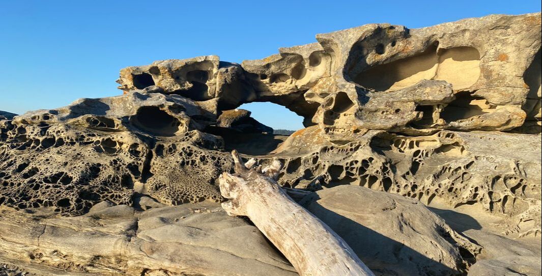
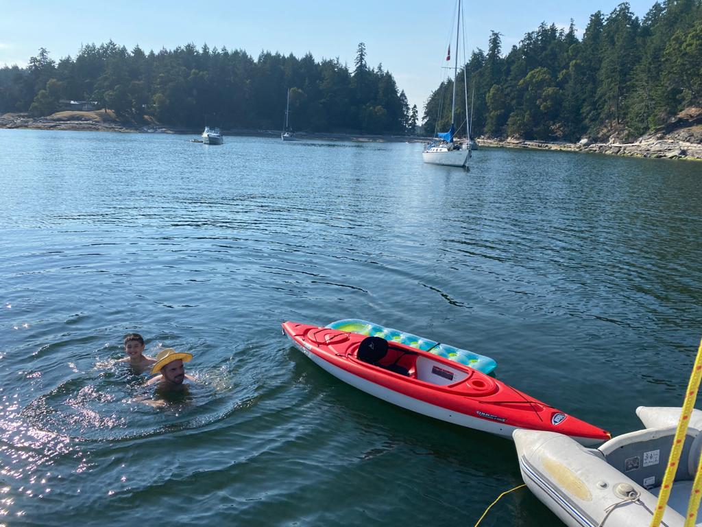
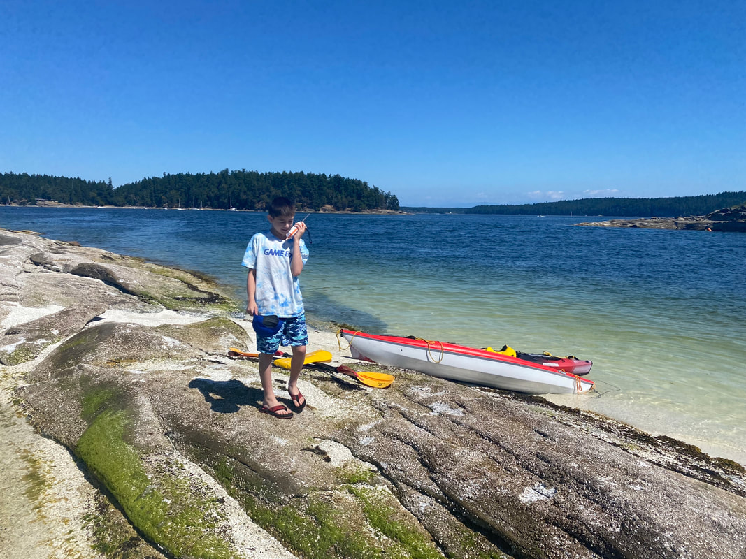
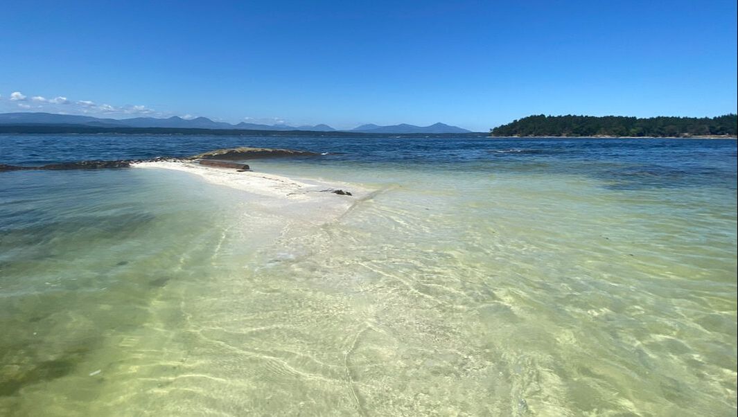
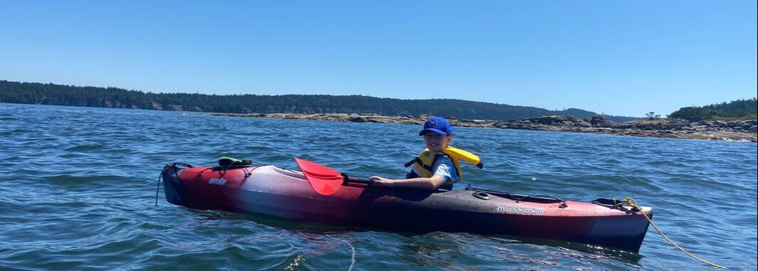
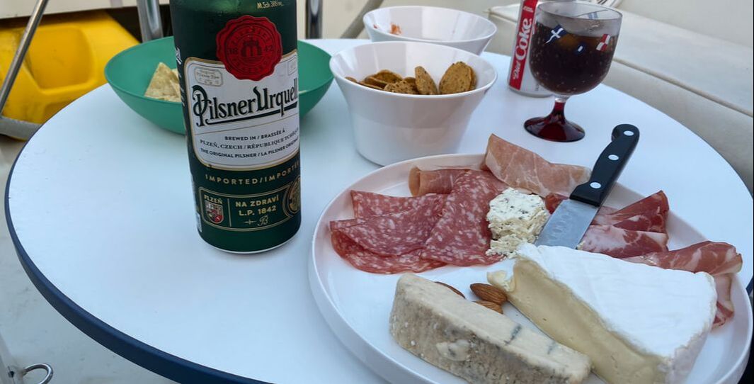
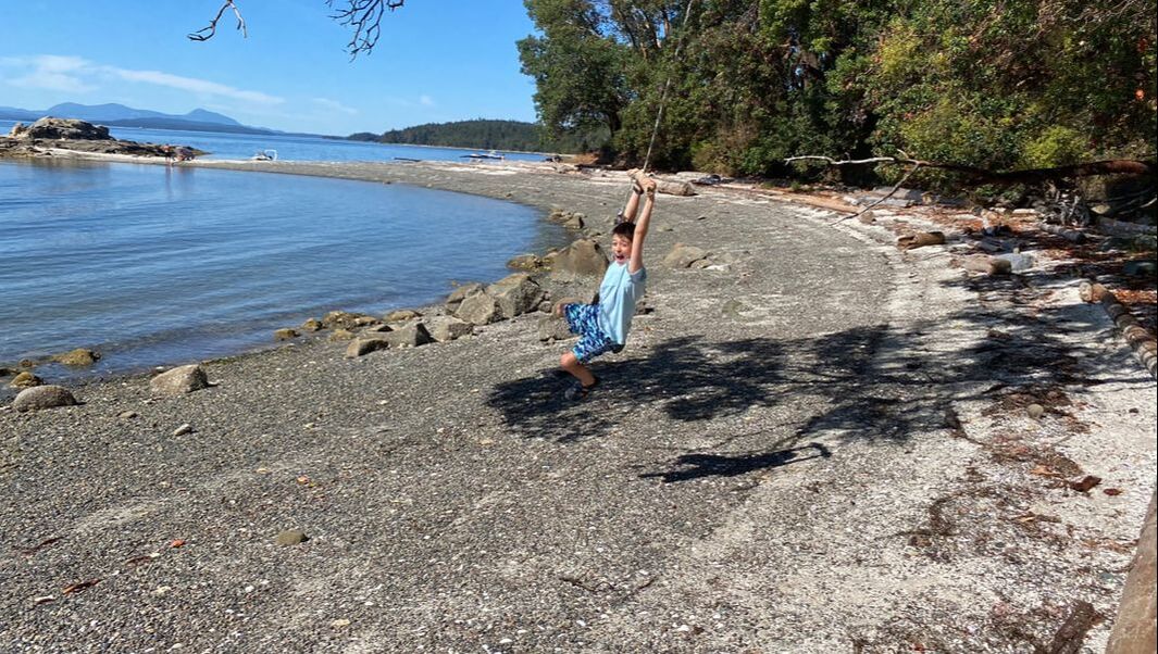
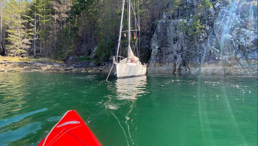
 We are off to escape the summer heat in Vancouver. A few hick ups let to a late start into our Gulf Island adventure and we spent the first night in Port Graves, Gambier Island. After a pit stop in Gibsons to fill up with diesel we set sail to cross the Straight of Georgia. A light south easterly breeze carried us across the the water. We were late to for slack tide at Gabriola pass, but based on the current information on Navionics we should still be able to get through. To my surprise the current was much stronger and we made very little headway against the flooding tide and had to abandon the crossing. Curious to why we struggled so much, i compared the Navionics data agains the official current table by the hydrographic service and to my astonishment realized that the maximum current and time were off by 1,5 its and over half an hour. I knew we were cutting it close, but this explained the higher than expected current. I double checked a few other dates, and found that Navionics tide information differed substantially from the official current tables on many of the dates I looked at. It was only mid afternoon and we decided to drop anchor next to nearby Kendrick Island. It was a pleasant afternoon and we fired up the BBQ for dinner. The currents should subside within two hours and we planned to press on to our destination at Herring Bay, Ruxtion Island. After a pleasant dinner and a glass of wine however we decided to enjoy the anchorage and explore the reefs and sandbanks revealed by the low tide. Leo, our son and got the dinghy ready and rowed to shore. We walked to the tip of the reef, extending from Kendrick Island. Leo carves his name into the sandstone while I watch another boat taking the turn into the anchorage. The sea and wind carved out the sandstone creating fascinating sculptures. Island Fun 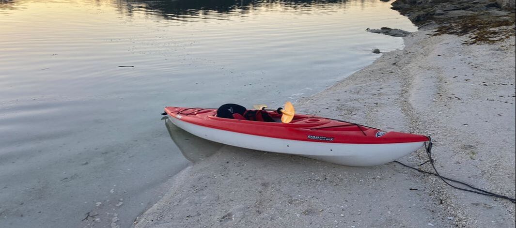 Herring Bay, Ruxton Island: The reef at low tide early morning Kendrick Island
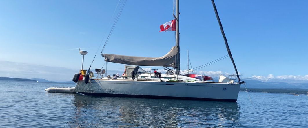
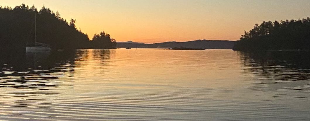
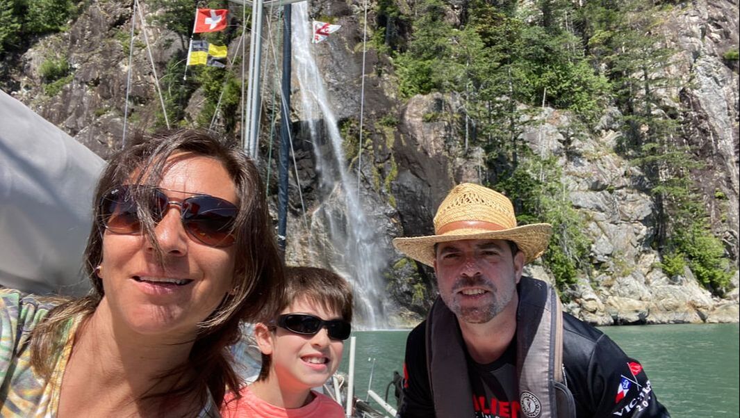
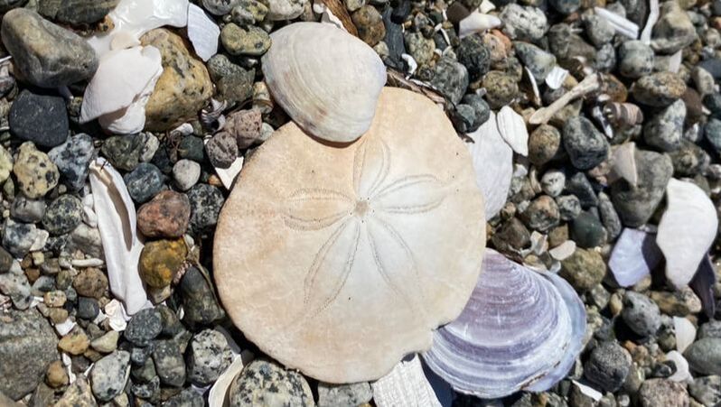
Original Article appeared in the Vancouver Sun on Aug 18, 2020. As I am sitting in the cockpit of our Sailboat Salient, docked in Lund and watching over the ocean I think back on the many adventures of exploring Desolation Sound and its surrounding waters during the past two weeks with my wife Andrea and our son Leonardo.With the slow opening of the province, it was finally time to cast off the bowlines, point the bow of our 12 m long sailboat Salient north and seek out a quite anchorage. Three days later Salient was tugging gently on her anchor as a light breeze funnelled through between two islands into Isabel Bay in Lancelot Inlet. Memories of my first cruise to Desolation Sound exactly 16 years ago came back. The place has not lost its magic and we explored the various islands and bays along the shore. 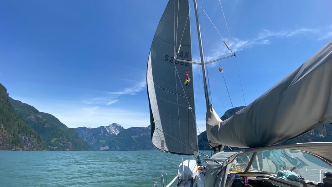 Isabel Bay captivated us and we stayed three days in this tranquil anchorage. On Polly Island we discovered a log book with notes going back almost 20 years. One crew member even placed a polaroid picture of days long gone in the log book. While we had a shower on the boat, nothing compares to a dive into the refreshing water of a natural lake. Grace Harbour, less than an hour away from Isabel offered exactly that. Who needs a shower when you can dive into the crystal clear water of a lake? With our spirits recharged and bodies refreshed we were eager to explore other islands. We set course northwest and Salient sliced through the water, destination Shark Spit, on Marina Island. The island was named after explorer Hernando Cortes’ lover. As we approached the sandbar that forms Shark Spit, Andrea perched on Salient’s bow, peered into the water trying to make out the seabed. 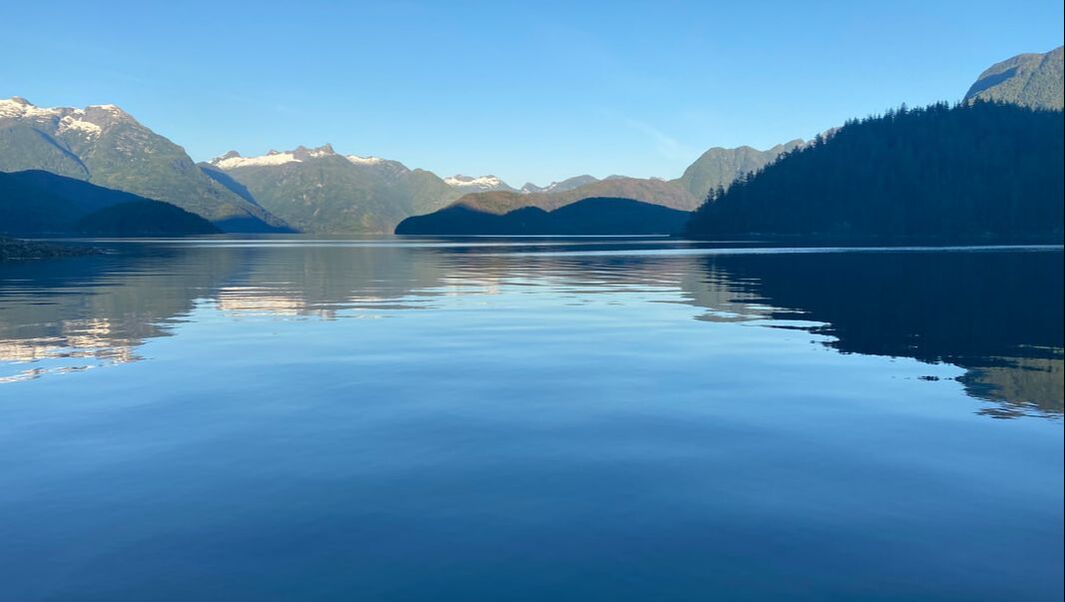 Her shout ‘I can see sand’ was the command to stop the boat and plunge the anchor into the ocean. Shortly thereafter we beached our dinghy on the white sand. This must be one of the most beautiful places in Desolation Sound, reminding me more of a Caribbean beach than the West Coast. The beach reveals its’ secret at low tide when millions of Sand Dollars dot the white sand. Some tried to hide in the lush seagrass but there was no escaping from our nine-year-old son Leonardo. “Found another one, found another one” he whooped as he filled his chest with this treasure. At high tide the entire sand bar is covered with water making it a navigational hazard. But thanks to accurate charts, GPS and aids to navigation the modern navigator does not face the tremendous challenges Captain Vancouver and his Spanish counterparts Valdes and Galiano had to cope with when they charted these waters in the summer of 1792. Today Desolation Sound is anything but desolate. Although its heydays of logging, steamships and gallimaufry of first settlers is long gone, during the brief summer its ports and anchorages bustle with activity. This year the normally ubiquitous American burgee is completely absent and only Canadian boats plow the waters. Rumour has it that the used-boat market dried up and watching the armada of boats sailing through Welcome Passage I can believe it. We pushed further north and sailed around Cortes and Redonda Island towards Toba Inlet. The water colour changes to a soft milky hue as a result of the glacier melt water from the coastal mountains. Mount Denman, the highest mountain in Desolation Sound, its peak just shy of 2,000 meters above sea level is a prominent sight. Although, sometimes called Canada’s Matterhorn it does lack the majestic views of the Alps. Nevertheless, the stark contrast between the Caribbean like beach and clear water of Marina Island and this fiord piercing deep into the snow-covered mountain range left me feeling humble. The only other boats we encountered that day was a lonely kayak and a prawn boat collecting its traps. 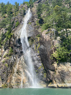 Waterfalls tumble over massive rock walls into the sea. The ocean seems bottomless in these inlets and our depth sounder does not register the seabed, even close to shore. We managed to maneuver Salient within a few meters of a cascading waterfall, almost touching it. With the freshening inflow winds, we hoisted the sail and let the warm breeze carry us deep into Toba Inlet. Unlike Vancouver’s men, who were hoping for another exit into the ocean, I was happy to find another waterfall or an eagle soaring through the sky or perhaps a seal curiously peeking at us. I was not disappointed and wished this day could last a little bit longer. However, with no suitable anchorage, the only place to safely spend the night was the floats at Toba Wilderness Resort and at some point we had to turn around. Few boaters made it that far north and only four other vessels were tied up at Toba Wilderness Marina. Normally this place is packed with boats and reservation for the busy summer months are highly recommended. We took an evening hike up to the waterfall which is also the source of fresh water for the marina.  In the morning we climbed the steep trail to a viewpoint overlooking Pryce Channel, Desolation Sound and the entrance to Toba Inlet. I was very proud of Leo who for the first time joined us on a strenuous hike without muttering and instead challenged me to race from switch back to switch back. It was with a crying and a laughing eye that I conceded victory most of the time. From the icy cold glacier waters of Toba Inlet it is less than two hours through Waddington Channel to the warm waters at the head of Pendrell Sound. Some cruisers claim this is the warmest ocean water north of Mexico. We jumped into turquoise water and enjoyed a refreshing swim. We planned to stay one night only, but the beauty of the place and warm water put a spell on us and we stayed another night. While sipping on a glass of wine I listened to the gurgling water of a tiny creek making its way over rocks into the sea. The water now smooth like silk reflected the last rays of sunlight, and snow-covered peaks framed the scene as it glowed in the orange and red light of the setting sun.
A few more anchorages, another lake to explore but eventually we had to make our way back towards Vancouver. We are left with wonderful memories and feel blessed having had the opportunity to spend some time in this marvellous area. |
Details
Archives |
 RSS Feed